
Water Intelligence
Water intelligence platforms for a changing climate.
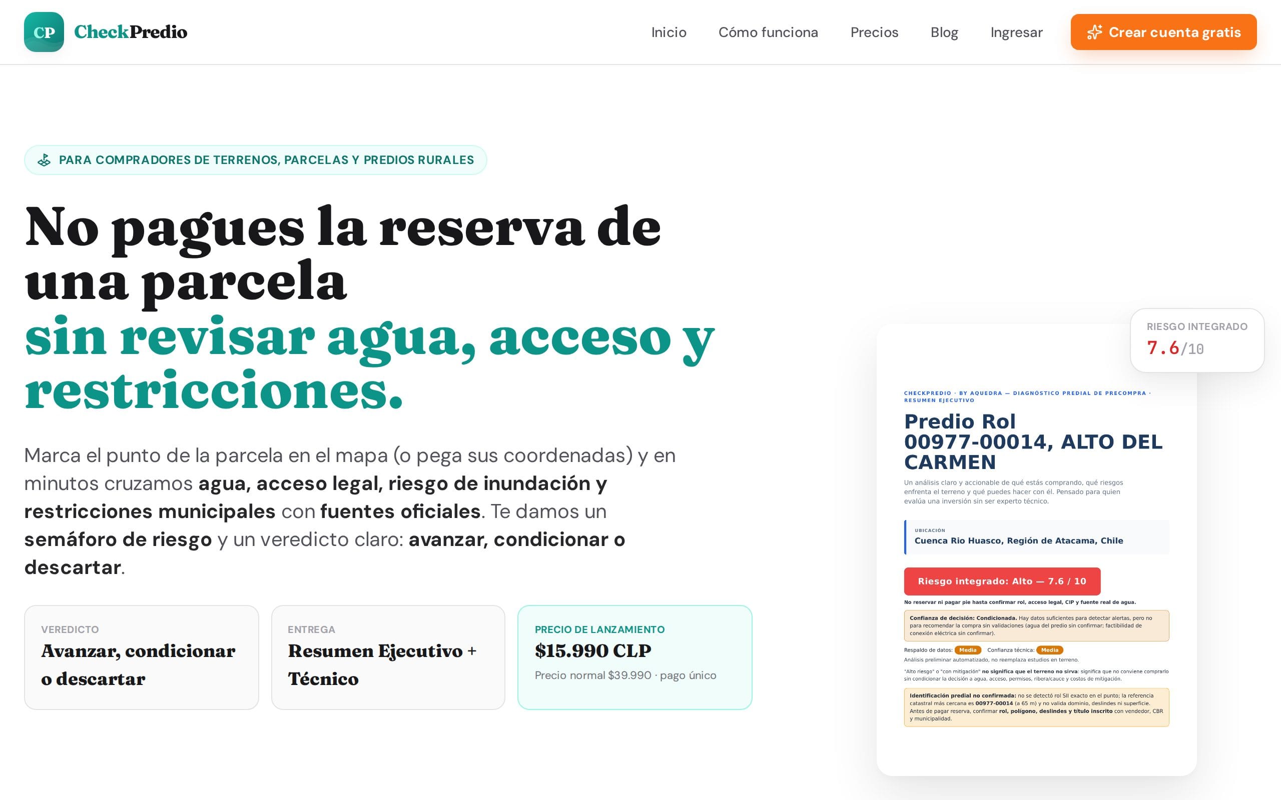
AQUEDRA builds software products that turn hydrological, geospatial and environmental data into decisions — from AI-enriched search across scientific water maps to automated land-risk reports and managed cloud-native GIS — backed by a specialist engineering practice.
Built for
Governments · Water agencies · Engineering firms · Utilities & mining · International organizations
Products
The Aquedra product family
Software we build, operate and support ourselves — live today, in production, ready to use.
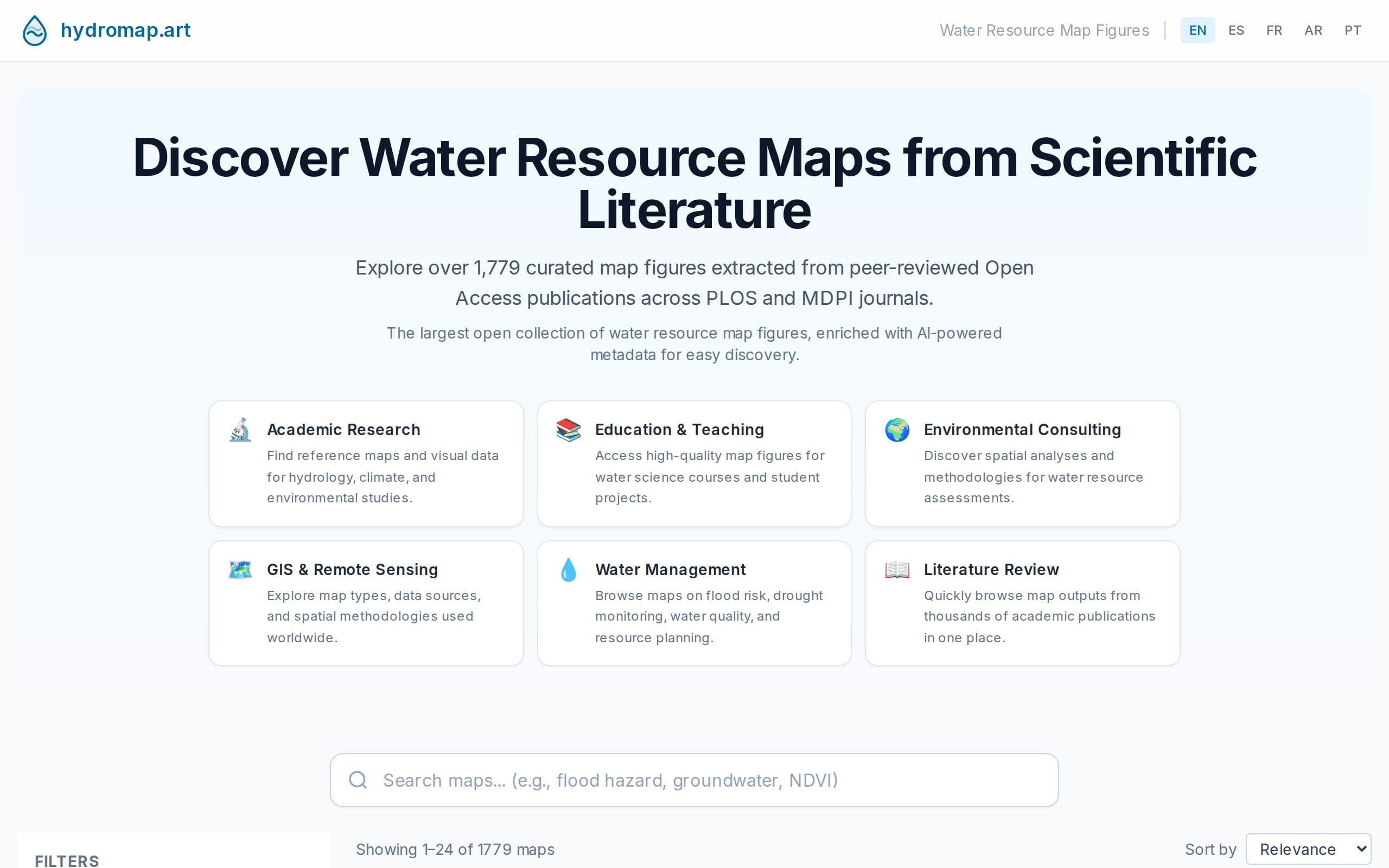
HydroMap
LiveAI-enriched search across 1,700+ scientific water-resource map figures.
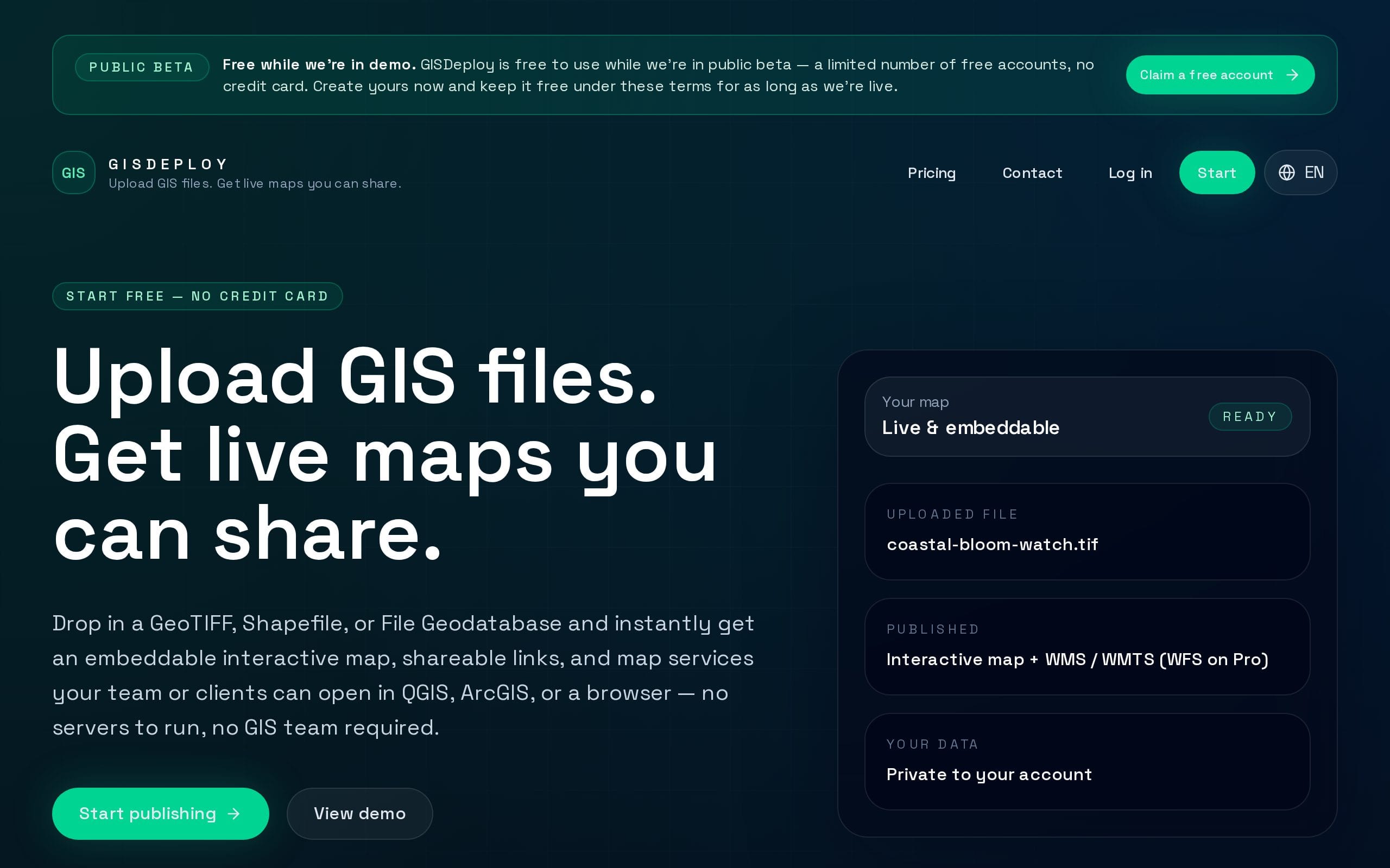
GISDeploy
BetaManaged cloud-native GIS — GeoServer, PostGIS and a data catalog, operated for you.
Why
Water and land data is everywhere. Decisions are still hard.
Scientific literature, public registries and satellite archives hold enormous amounts of hydrological and territorial information — fragmented, unstructured and hard to act on.
Aquedra productizes that data: platforms that make it searchable, analyzable and deliverable as reports, maps and APIs — the same technology we use to build operational systems for institutions.
Platform
Built for global water data
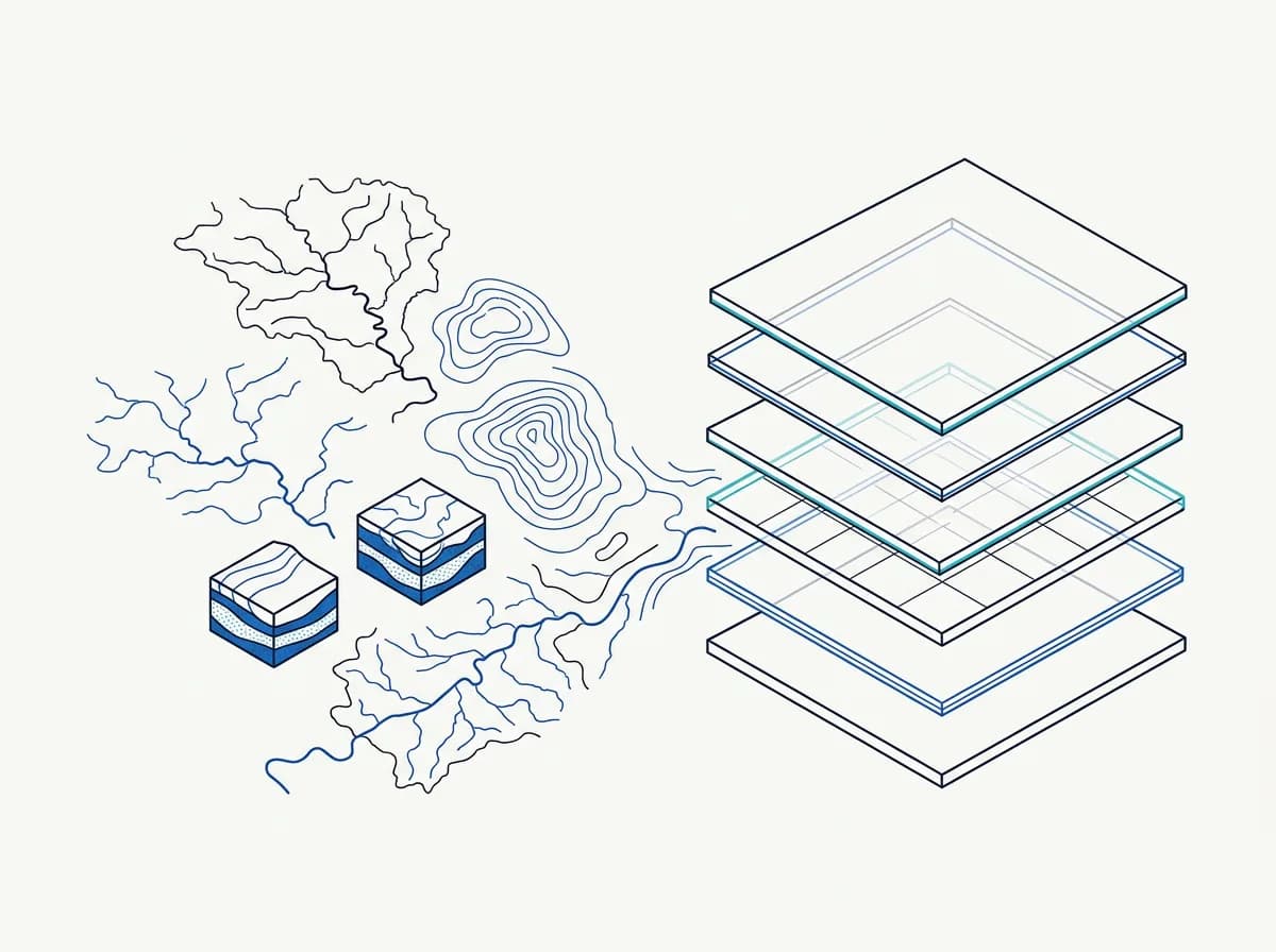
Aquedra products run on a Kubernetes-based cloud platform: geospatial data in PostGIS, map services on GeoServer, open catalogs and viewers built on CKAN and TerriaJS, Python data pipelines and AI enrichment — delivered worldwide through Cloudflare's edge network.
- Kubernetes
- PostGIS
- GeoServer
- CKAN
- TerriaJS
- Python
- AI enrichment
- Cloudflare edge
The team behind Aquedra's products also develops an international water information platform for a United Nations agency.
Engineering services
A specialist practice behind the products
Beyond our products, AQUEDRA delivers engineering and platform work for water institutions — from hydraulic models to national data platforms and the cloud infrastructure underneath.
- Flood Risk & Hydraulic Intelligence
- Water Data Platforms
- Monitoring & Early Warning Systems
- Geospatial Infrastructure
- Cloud Native GIS
Leadership
Pablo Rojas, Founder
Civil engineer and MSc in Data Science with more than ten years in water resources, river basin management and software. Developer of an international water information platform for a United Nations agency.
About AQUEDRA →
Try the products, or bring us your water challenge.
Explore HydroMap, CheckPredio and GISDeploy — or tell us about the platform your institution needs. We answer within two business days.