AQUEDRA
Products
Software products for water and land intelligence — built, operated and supported by Aquedra.
hydromap.art
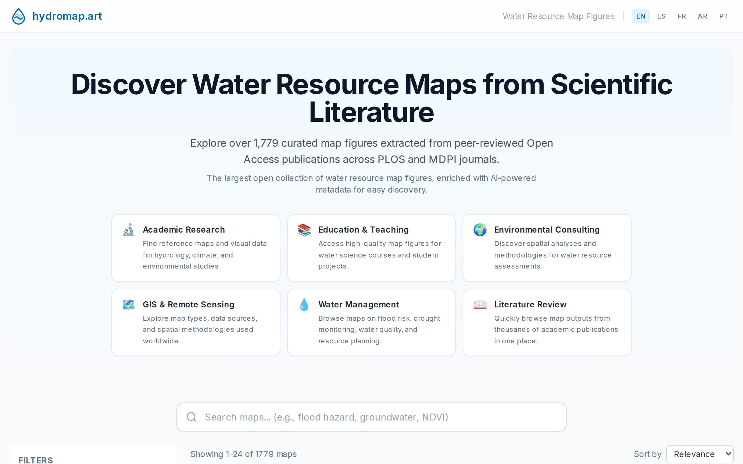
HydroMap
LiveAI-enriched search across 1,700+ scientific water-resource map figures.
- Search across more than 1,700 map figures from scientific water-resources publications
- Metadata enriched with AI so figures can be found by topic, region and theme
- Focused on hydrology and water resources: basins, aquifers, floods, infrastructure
checkpredio.cl
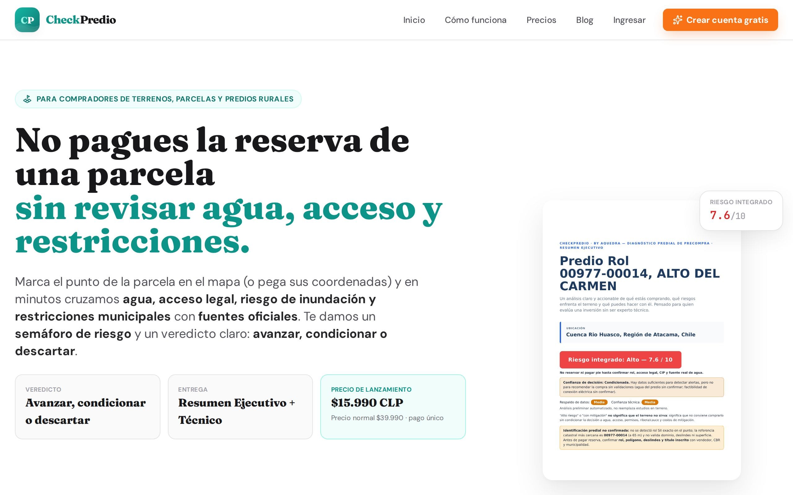
CheckPredio
LiveAutomated geospatial risk analysis for land in Chile.
- Automated risk analysis for land in Chile, built from official public data
- More than 40 data layers per report: water, natural hazards, zoning, access and more
- Verifiable PDF reports
- Self-service: sign up, pay online and receive your report
gisdeploy.com

GISDeploy
BetaManaged cloud-native GIS — GeoServer, PostGIS and a data catalog, operated for you.
- Managed GeoServer and PostGIS, provisioned for you
- Data catalog and web map publishing (WMS/WFS)
- Operated on cloud-native infrastructure: deployment, monitoring and backups handled by Aquedra
Need something custom?
The technology behind our products is also available as engineering services: water data platforms, monitoring and early warning, geospatial infrastructure and cloud-native GIS.
Explore services →